Why the map was incomplete
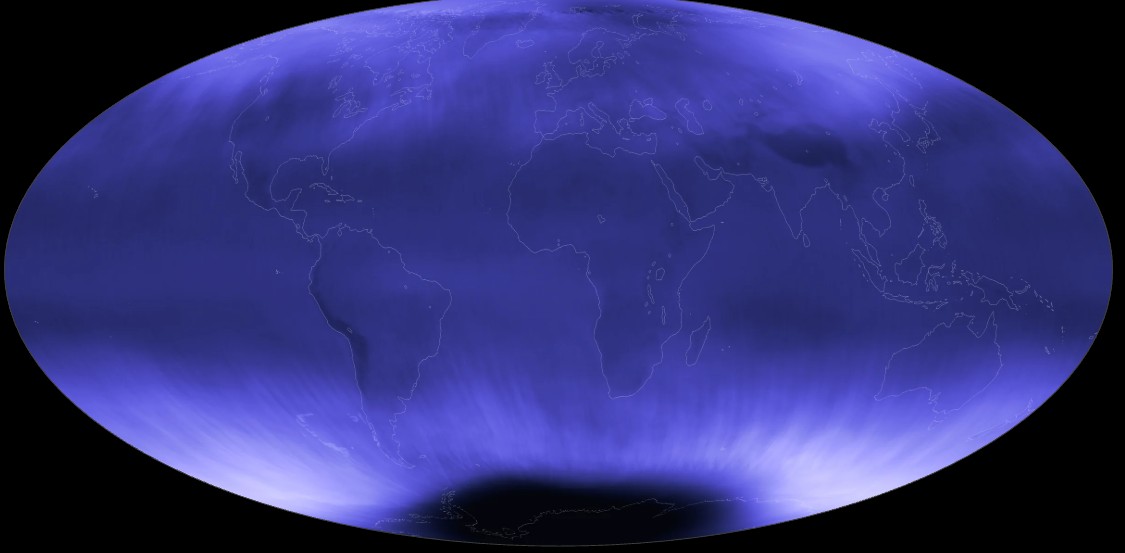
Ultraviolet light reveals dust lit by stars, including clouds around young stars and rings left by stellar explosions. But Earth’s ozone layer blocks ultraviolet radiation, so it can only be measured from space.
GALEX mapped about two-thirds of the sky, leaving out bright star-forming regions. Claude Science coordinated AI agents that retrieved and calibrated data from several space missions, then combined them into a map.
Filling the gaps
The team reconstructed areas with no measurements using a model trained on available data. In tests, its predictions differed from actual measurements by about 10% on average.
The map is planned as a teaching resource. Menard suggests that many scientists had postponed similar projects, and that AI could now help them carry those projects out.
What the accuracy claim leaves open
I think the interesting part is not that AI assembled a sky map, but that it filled in observations that were never made. An average error of about 10% is a useful benchmark, but it does not tell us how reliable the reconstruction is in the bright star-forming regions GALEX missed. That is where the map’s scientific value—and the limits of the method—will be tested.
Daily AI news
Every day we pick what actually matters in AI and explain it plainly — no hype, no filler. Subscribe if you want to follow where the industry is going.
Only what matters — every day
Follow on X