A route that left the trail
On Saturday morning, he took a gondola to the top of Grouse Mountain and asked Claude to map the out-and-back trip to nearby Crown Mountain. The route crosses scree and climbs more than 610 metres. It typically takes eight hours, and hiking guides warn that it is not for beginners.
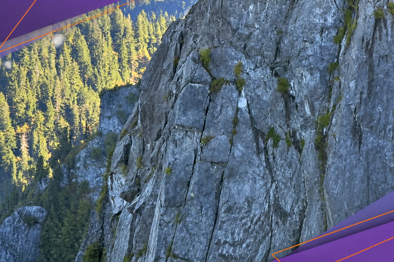
Following Claude’s directions, he went through Crown Pass, climbed the slopes of Crater Mountain and crossed a boulder-filled valley. He eventually reached the base of Widowmaker Arete’s upper rock face. The climb calls for ropes, cams and a clear plan. Realising the slope was too steep, he called his mother, then emergency services.
North Shore Rescue sent a helicopter, but he was too close to the rock face for a winch extraction. Two rescuers were lowered to him and helped him climb up. He was then taken to the rescue base at Cleveland Dam.
Not the first bad route
Rescuers said afterward that he had strayed far from the intended route. The incident is believed to be the first in which a hiker got lost because of AI. But inaccurate directions have already caused trouble in the mountains of southwestern British Columbia.
In July, three people were rescued after using Google Maps to plan a route on the Howe Sound Crest Trail. The service badly underestimated the time: a hike that often takes up to 14 hours was estimated at just over five.
Search manager Paul Markey told North Shore News that hikers and climbers should not plan routes on AI advice. He said these systems lack an understanding of spatial relationships and experience from previous hikes, and that users should check their suggestions rather than follow them blindly.
The missing test
I think the important distinction here is not between AI and maps: both have now been linked to bad route estimates in the same region. It is whether a tool understands the terrain well enough to tell someone when a route is beyond their ability. Claude supplied directions; the account offers no sign that it warned the teenager about the route’s difficulty, the required equipment or the risk of straying.
That gap matters because a route description can sound manageable while leaving out what makes it dangerous. The system’s directions were not a substitute for preparation, and the rescue shows how little room there can be for error once a hiker reaches a technical climb.
Daily AI news
Every day we pick what actually matters in AI and explain it plainly — no hype, no filler. Subscribe if you want to follow where the industry is going.
Only what matters — every day
Follow on X